Radcliffe Line is the land border between -
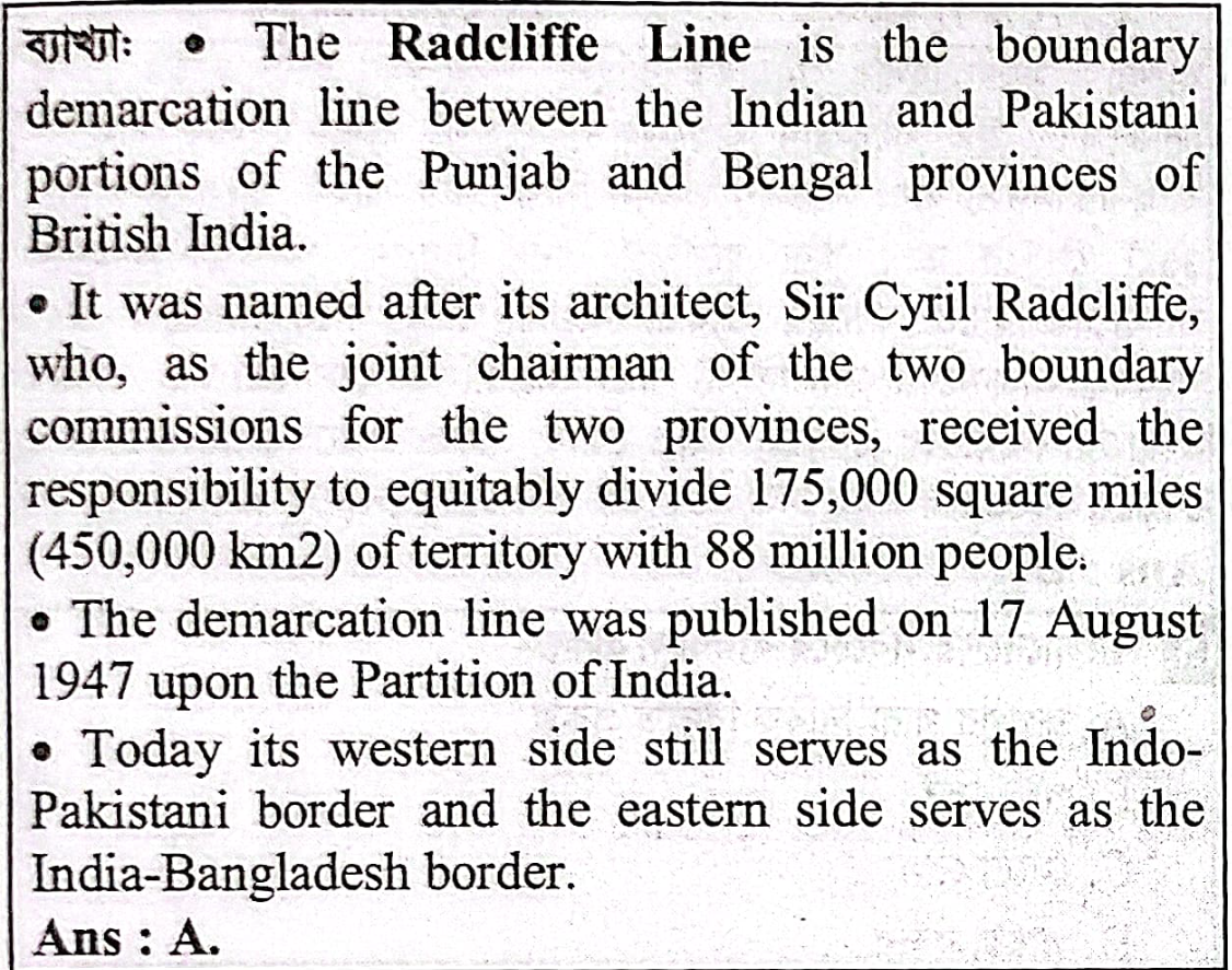
A. India and Pakistan
B. China and India
C. North and South Korea
D. USA and Mexico
JUUnit-CSet-2সাধারন জ্ঞান - বাংলাদেশবাংলাদেশের অবস্থান, আয়তন ও সীমানাবাংলাদেশের অবস্থান, আয়তন ও সীমানা (Topic Practice)JU - ⚡ অনলাইন প্রশ্নব্যাংক দেখুন 💥
সঠিক উত্তরঃ
A.
India and Pakistan
Explanation:
Related Questions (Any University/Year)
- What is the difference between Bangladesh local time and Greenwich Mean Time?
- বাংলাদেশের কোন জেলার সঙ্গে ভারত ও মায়ানমারের সীমান্ত রয়েছে?
- বাংলাদেশ ও মিয়ানমারের মধ্যে সীমান্ত নদীটির নাম কী?
- 1 nautical mile is equal to -
- গ্রিনিচ মান সময় অপেক্ষা বাংলাদেশ সময় কতঘণ্টা আগে?
- বাংলাদেশ এশিয়ার কোন অঞ্চলে অবস্থিত?
- বাংলাদেশের কোন জেলা দুই দেশের সীমানা দ্বারা বেষ্টিত ?
- বিলোনিয়া সীমান্ত কোন জেলার অন্তর্গত?
- What is the time zone of Bnagladesh UTC?
- Which of the following states of India does not have a border with Bangladesh?
- আয়তনে বিশ্বের বৃহত্তম দেশ কোনটি?
- কর্কটক্রান্তি রেখা বাংলাদেশের কোন স্থান দিয়ে অতিক্রম করেছে?
- বাংলাদেশের সবচেয়ে বড় জেলা কোনটি?
- বাংলাদেশের সীমান্তবর্তী কোন জেলার সাথে ভারতের সীমান্ত সংযোগ নেই?
- Till October 2021 , the number if Upazilla in Bangladesh is-
- বাংলাদেশের সর্ব দক্ষিণের থানা কোনটি?
- Time difference of Bangladesh with " Greenwich Mean Time'"
- Considering the land area, what is largest and smallest Upazila of Bangladesh?
- ’গন্ডোয়ানাল্যান্ড’ কোন স্থানের পূর্ব নাম?
- মংডু কোন দুটি দেশের সীমান্ত এলাকা?